Thomas E. Perdue Heliport

Informazioni sull'aeroporto - Thomas E. Perdue Heliport, Stati Uniti (USA)

Descrizione Valore
IATA
(Codice aeroporto International Air Transport Association)
Nessun codice IATA
Tipo Eliporto
Codice aeroporto locale NK75
Codice aeroporto GPS NK75
Longitudine 44.9366989135742
Latitudine -74.9096984863281

Città vicino a Thomas E. Perdue Heliport, Stati Uniti (USA)

Città, paese Distanza (km)
Ottawa 82.41 km

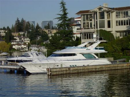
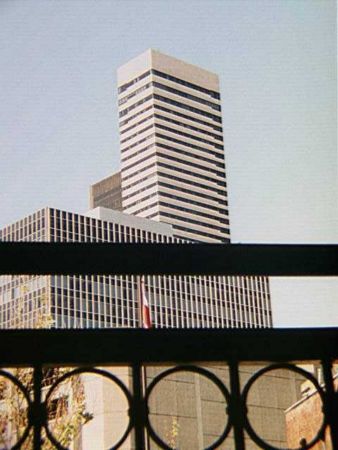
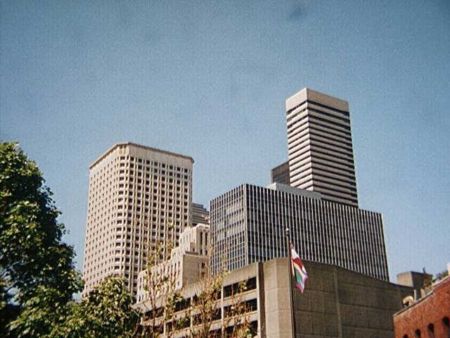
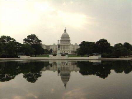
Immagini vicino Thomas E. Perdue Heliport, Stati Uniti (USA)
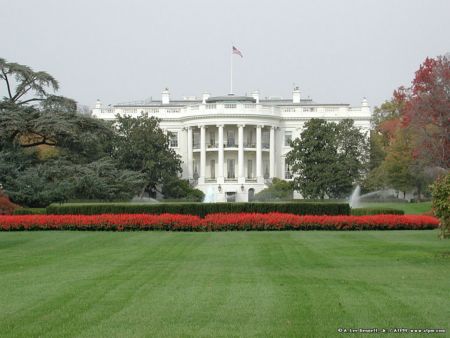
CN train 377 tank train near Ingleside Long sault Mill wheels? Old Grand Trunk Railway (GT) bed, built in 1856, submerged by the St.Lawrence Seaway in 1958.  Looking east.  Much more can be seen under water in the satellite photo looking like a streak going off to the right.  It would appear that part of the railway bed material was used to build the road cause way. the farm in the eighties
 
Long Sault Pkwy     

Immagini di Thomas E. Perdue Heliport