Skyline Seaplane Base

Informazioni sull'aeroporto - Skyline Seaplane Base, Stati Uniti (USA)

Descrizione Valore
IATA
(Codice aeroporto International Air Transport Association)
Nessun codice IATA
Tipo Idroscalo
Codice aeroporto locale 21H
Codice aeroporto GPS 21H
Longitudine 48.4832000732422
Latitudine -122.684997558594

Città vicino a Skyline Seaplane Base, Stati Uniti (USA)

Città, paese Distanza (km)
Victoria 50.74 km
Mount Baker, WA 71.04 km
Vancouver 92.66 km
Seattle, WA 99.9 km

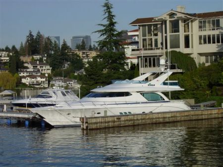
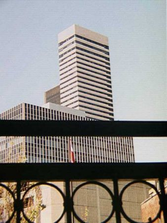
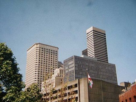
Immagini vicino Skyline Seaplane Base, Stati Uniti (USA)
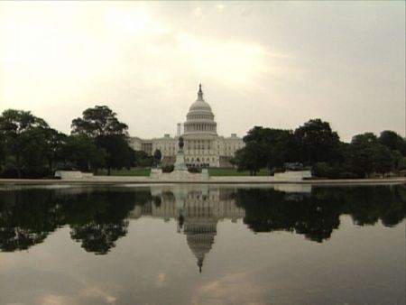
Deception Pass Bridge Puget sound Beach to deception Cap Sante Marina from Cap Sante Park Cranberry Lake Reflections
 
Deception Pass and Pass Island Rosario Beach, Fidalgo Island, Washington Burrows Pass from Washington Park Anacortes, Washington toward Guemes Island and Mt Baker Mt Erie from Lake Campbell (1)
 
Picnic Point - - Washington Park Mt Baker and tug in Rosario Straits James Island State Park in Rosario Strait Do you fancy your own castle in the 'burbs? Lighthouse Point
 
Whimsical interpretation of a downspout... About history Sunset from Anacortes WA Welcome Downtown Anacortes Washington spot cèleste jpb
 

Immagini di Skyline Seaplane Base