Rolling Thunder Airport
Informazioni sull'aeroporto - Rolling Thunder Airport, Stati Uniti (USA)
|
Città vicino a Rolling Thunder Airport, Stati Uniti (USA)
| Città, paese | Distanza (km) |
| Reno, NV | 35.64 km |
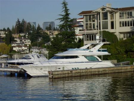
Immagini vicino Rolling Thunder Airport, Stati Uniti (USA)


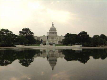
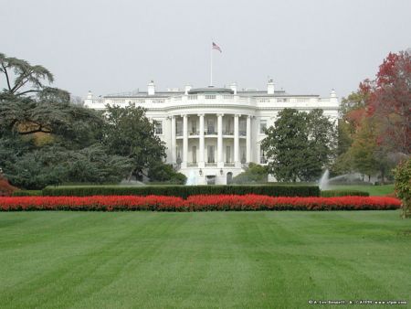
Materiale informativo - Washington, DC
Materiale informativo - Stati Uniti (USA)
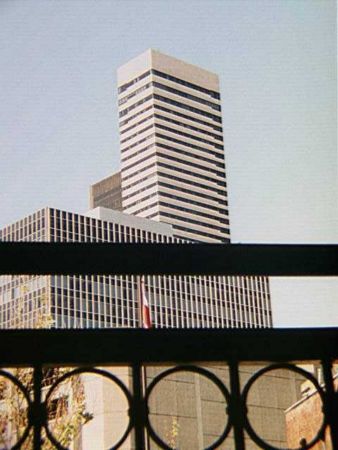
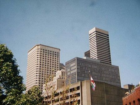
Galleria fotografica
Stati Uniti (USA), Washington, DC