Devils Garden Strip

Informazioni sull'aeroporto - Devils Garden Strip, Stati Uniti (USA)

Descrizione Valore
IATA
(Codice aeroporto International Air Transport Association)
Nessun codice IATA
Tipo Piccolo aeroporto
Codice aeroporto locale FA18
Codice aeroporto GPS FA18
Longitudine 28.451099395752
Latitudine -81.0002975463867

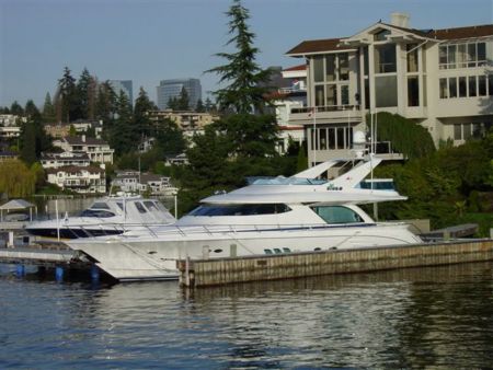
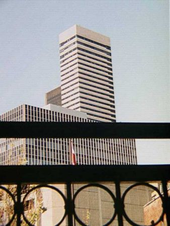
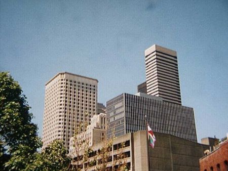
Immagini vicino Devils Garden Strip, Stati Uniti (USA)
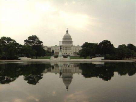
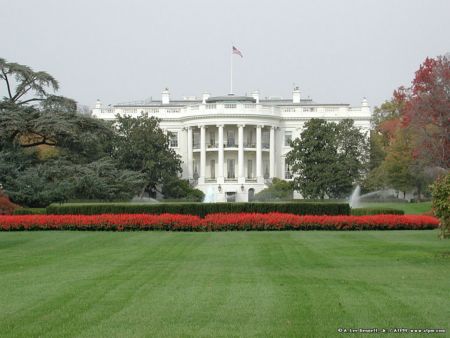
air boat on the St Johns River, near Christmas, Florida (6-2006) St Johns River floodplane, Tosohatchee State Preserve, looking south from beeline, Florida (9-4-2006) Florida's alligators Old Homestead Chimney Cypress Tree With Roots
 
Ducks in man-made duck ponds Old Bridge Crossing Mud Lake Canal Tall Pine Trees along Fish Hole Road Hal Scott Preserve Information Kiosk Spanish Moss Near Taylor Creek
 
Trail/Road Through Pine Trees Road Along Edge Of Tosohatchee Property James (Jim) Creek running under Fish Hole Road Lonely Cypress Tree next to river Tosohatchee Power Lines
 
Cypress Mound Along St Johns River Tosohatchee South Entrance Gate on RT520 Tiger Branch Primitive Campsite Trail/road to walk in Tosohatchee One of Many Birdhouses in Tosohatchee
 

Immagini di Devils Garden Strip