Distanza da Weston-super-Mare a Porthcawl - Galles
Informazioni sulla distanza da Weston-super-Mare, Regno Unito a Porthcawl - Galles
Distanza geografica da Weston-super-Mare a Porthcawl - Galles 52.53 chilometri
32.29 miglia
28.08 miglia nautiche
Distanza stradale da Weston-super-Mare a Porthcawl - Galles
Distanza da Weston-super-Mare, Regno Unito a Porthcawl - Galles la mappa
Distanze più vicine da Weston-super-Mare, Regno Unito
| Città | Distanza |
| Bristol | 29.48 km |
| Keynsham | 34.02 km |
| Bath | 43.12 km |
| Chipping Sodbury | 45.14 km |
| Bridgend | 45.52 km |
| Porthcawl - Galles | 52.53 km |
| Maesteg - Galles | 55.53 km |
| Nailsworth | 64.97 km |
| Shaftesbury | 66.53 km |
| Cheltenham | 87.03 km |
| Plymouth | 134.97 km |
| Sandwell | 146.17 km |
| Birmingham | 146.39 km |
| Coventry | 154.71 km |
| Milton Keynes | 173.01 km |
| Leicester | 190.78 km |
| Londra | 198.45 km |
| Derby | 202.66 km |
| Brighton | 206.46 km |
| Saint Peter Port | 212.53 km |
| Nottingham | 217.43 km |
| Tunbridge Wells | 226.76 km |
| Liverpool | 229.25 km |
| Manchester | 242.12 km |
| Sheffield | 248.41 km |
| Saint Helier | 248.82 km |
| Bolton | 250.73 km |
| Bury St Edmunds | 272.37 km |
| Colchester | 274.49 km |
| Wicklow | 276.82 km |
Scegli una città per calcolare la distanza da Weston-super-Mare, Regno Unito
Controllare le distanze da Porthcawl - Galles
| Città | Distanza |
| Bridgend | 8.98 km |
| Maesteg - Galles | 14.6 km |
| Weston-super-Mare | 52.53 km |
| Bristol | 77.36 km |
| Keynsham | 83.89 km |
| Chipping Sodbury | 90.44 km |
| Bath | 93.99 km |
| Nailsworth | 105.19 km |
| Shaftesbury | 117.58 km |
| Cheltenham | 121.27 km |
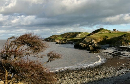
Materiale informativo - Weston-super-Mare
Materiale informativo - Regno Unito
Galleria fotografica
Regno Unito, Weston-super-Mare