Asapa Airport (APP)
Informazioni sull'aeroporto - Asapa Airport, Papua Nuova Guinea
|
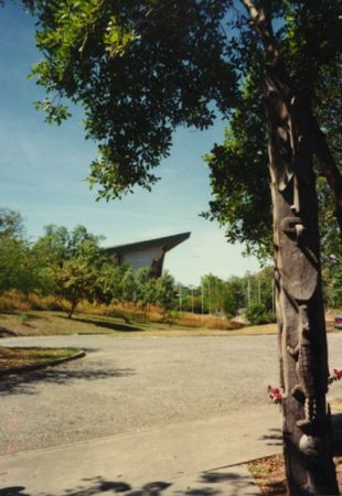
Immagini vicino Asapa Airport, Papua Nuova Guinea


Materiale informativo - Port Moresby
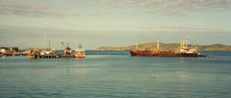
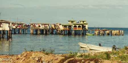
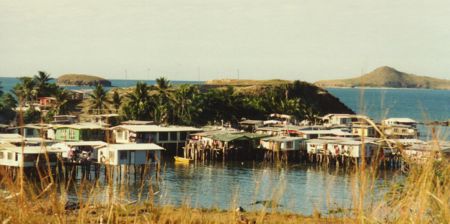
Materiale informativo - Papua Nuova Guinea
Galleria fotografica
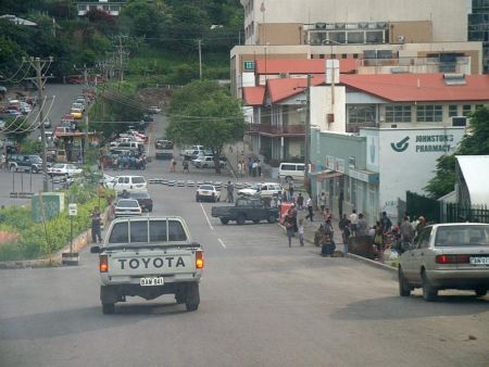
Papua Nuova Guinea, Port Moresby